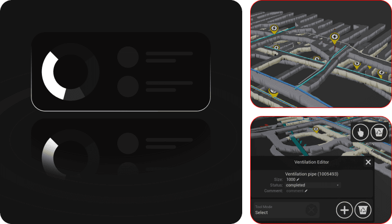
Above ground, real-time visibility is standard. GPS shows you where everything is, maps update instantly and routing is automatic. Underground navigation is an entirely different task.
Cybercube brings the same operational clarity below the surface, without replacing the systems you already run.
Turn fragmented data, delayed reporting, and blind spots into a single live view of your underground operation.
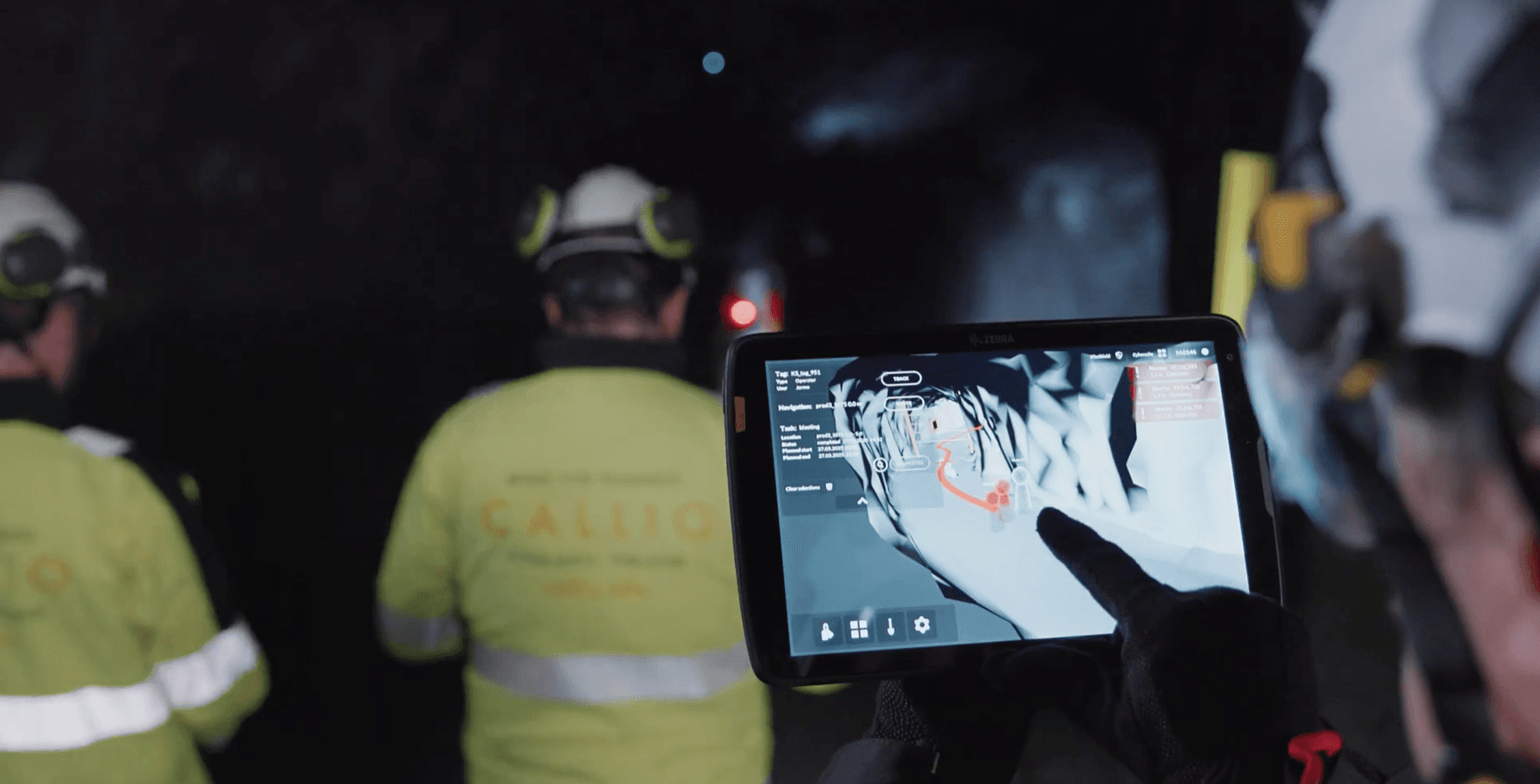
No new infrastructure, no additional hardware: just added visibility both on the operator’s mobile device and on the supervisor's desktop.
No new infrastructure.
No additional hardware.
Intelligent Visual Control
USE CASES

3D Operational Modeling
Know where every vehicle, crew member, and asset is, and see your production tasks without making a single radio call. Navigate underground with the same confidence you'd have above ground.
Operations Managers
Track operations in real time. Catch small issues before they become costly bottlenecks. Make decisions based on what's actually happening, not estimations or what someone reported an hour ago.
Technical Leadership
See the big picture. Take the steps that allow you to bring out the true technological potential of your mine, based on unified telemetry, sensors, fleet data, and production systems.
Innovation Teams
Replace disconnected point solutions with a single operational control environment. See all the data in one place, find the possibilities for improvement and make innovation reality.
Mine Planners
Plan against reality, not assumptions. Test routing, scheduling, and layout changes against a live model of your underground environment before committing resources.
Enterprise-Level Visibility
Get consistent, accurate operational insight across every site you run with the same interface and data structure, regardless of mine type or location.
HOW IT WORKS
Stop losing value to systems that don't talk to each other. Cybercube pulls your existing data sources into one place, live, without disrupting current workflows.
BIM models
IoT & sensor data
Fleet & operational systems
Point cloud scans
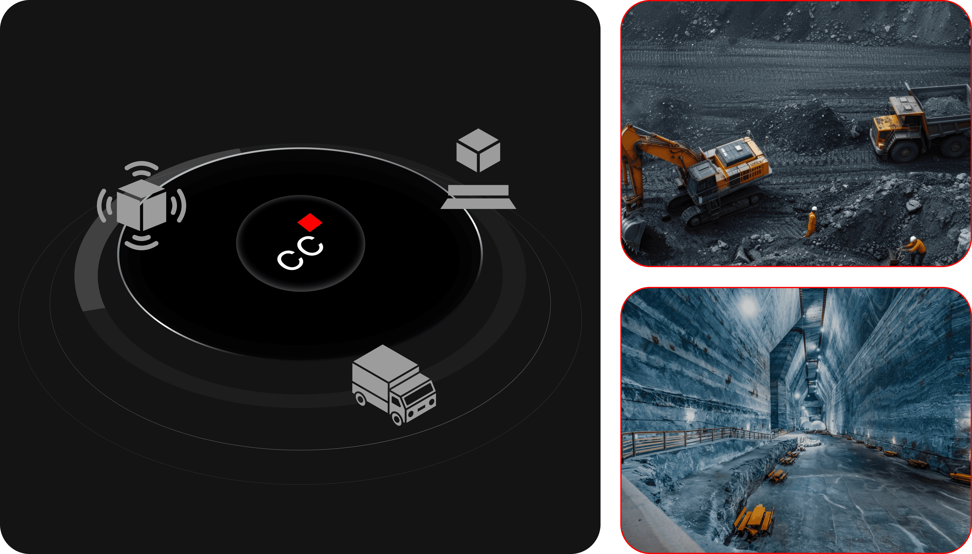
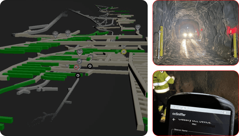
Get a high-fidelity 3D model of your underground environment, updated continuously with live data so your operational picture is always current.
Industry-specific simulation engines
Realistic traffic and people-flow modeling
Environmental and energy modeling
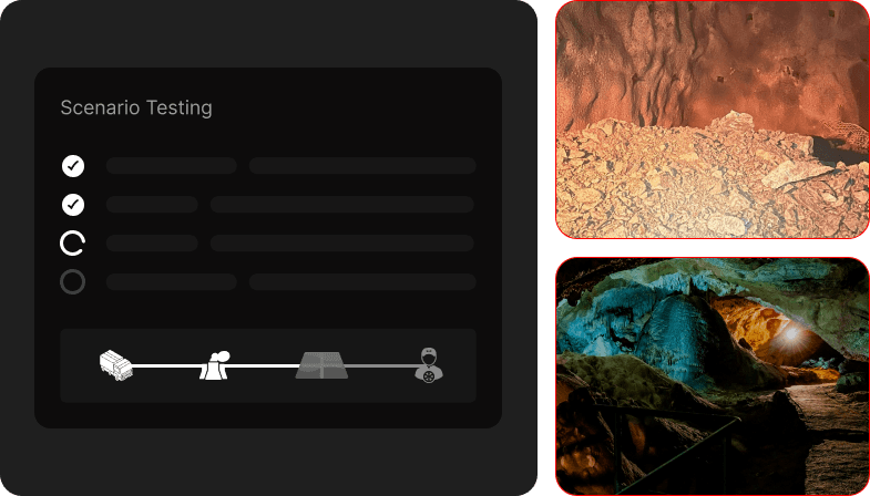
Evaluate routing, scheduling, and operational changes against a live model of your environment, before committing resources or disrupting production.
Fleet size comparison
Yard optimization
Zero-emission conversion simulations
Automation testing
A clean, minimal interface surfaces what matters, designed for fast decisions in demanding environments, with no room for confusion.
Real-time 3D visualization
Web-based dashboards
Power BI reporting
Pixel streaming for remote access